Skip to main content
Main navigation
Collections
Organizations
Exhibits
About
Home
Geography & Maps
Browse All Topics
Saranac Inn Photograph Collection
Geneva James G. Vail collection
Heermance Memorial Library Digital Collection
Buffalo Olmsted Parks Postcards & Stereo Views
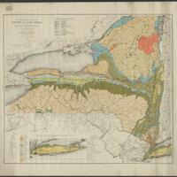
MacIntyre Iron Company Maps
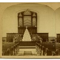
Stereograph Card Collection of Geneva
Finch, Pruyn and Company Maps
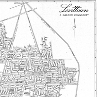
Historic Maps of Levittown
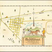
Brentwood Historical Map Collection
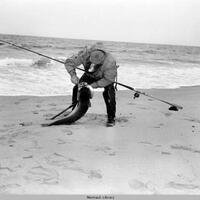
Montauk Fishing Collection
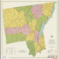
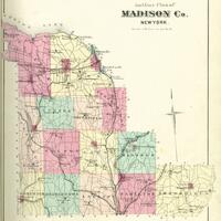
Madison County Atlases
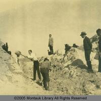
Montauk Land Use and Development
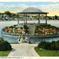
Onondaga Parks Association
New Hartford Community Historic Images Project
Ken Spooner Collection
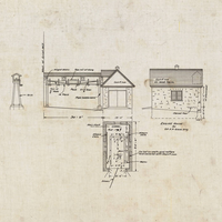
Miner Institute Blueprints and Maps Collection
See more