Collections
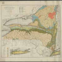
This collection of maps comes from the MacIntyre Iron Company, which operated at the Tahawus mines near Newcomb, NY.
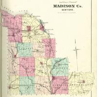
An atlas of Madison County, New York published by Alexander Pomeroy in 1875.
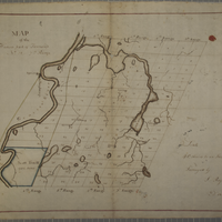
The maps (and, for some, associated documents) in this digital collection represent a portion of the 300+ in the physical Wadsworth collection and cover areas within townships, tracts, and counties in the Genesee Valley region.
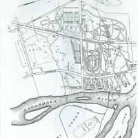
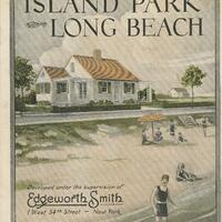
Maps of Island Park and early advertisements for homes in Island Park.
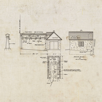
Heart's Delight Farm in Chazy, New York was a state-of-the-art farm in the early 20th century. This collection includes blueprints and maps depicting the farm and its buildings.
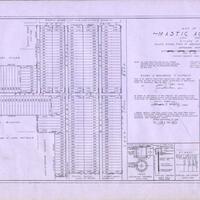
Historical maps from Mastic, Mastic Beach, Shirley, Brookhaven, and Moriches communities on Long Island
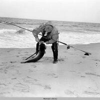
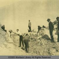
Historic photographs and maps showing land development in Montauk.