Manuscript Maps of the Genesee Region from the Wadsworth Family Papers Collection

Collection Owner:
Cover Image:
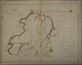
Map of the Western part of Township No. 12 - 7th Range
Map of the Western part of Township No. 12 - 7th Range - Image Source

Collection Facts

Extent:
112
Dates of Original:
1790-1900s

Historical Context

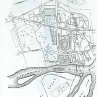
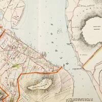
The Wadsworth Family Papers are the record of one of the longest unbroken land tenures by an American family, covering the years from 1790 to the early 20th century. Most of the maps in the collection are manuscript maps drawn by surveyors or copied from originals for the use of the family in their extensive land business, and often provide such details as land use, roads, waterways and structures. Most of the maps also include the names of settlers who leased or bought Wadsworth lands, making them a good resource for genealogists.

Scope of Collection

The maps (and, for some, associated documents) in this digital collection represent a portion of the 300+ in the physical Wadsworth collection and cover areas within townships, tracts, and counties in the Genesee Valley region. They are seldom dated, but from the internal evidence some date back to before 1800.