Adirondack Map Collection

Collection Owner:
Cover Image:
Adirondack Map Collection
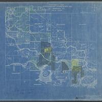
Map of the Adirondack Plateau showing the position & condition of existing forests - Image Source

Collection Facts

Extent:
367
Dates of Original:
1851 to 1931

Historical Context

The vast Adirondack Mountains were one of New York State’s last untamed wilderness regions, and historical maps tell the story of how this area was explored, charted, developed and settled from the 1700s through the present day.

Scope of Collection

This selection of public-domain maps from the Adirondack Experience Library’s collection ranges in date from 1762 to 1943. Produced by both private and governmental entities, the maps document change in the Adirondack region over three centuries.